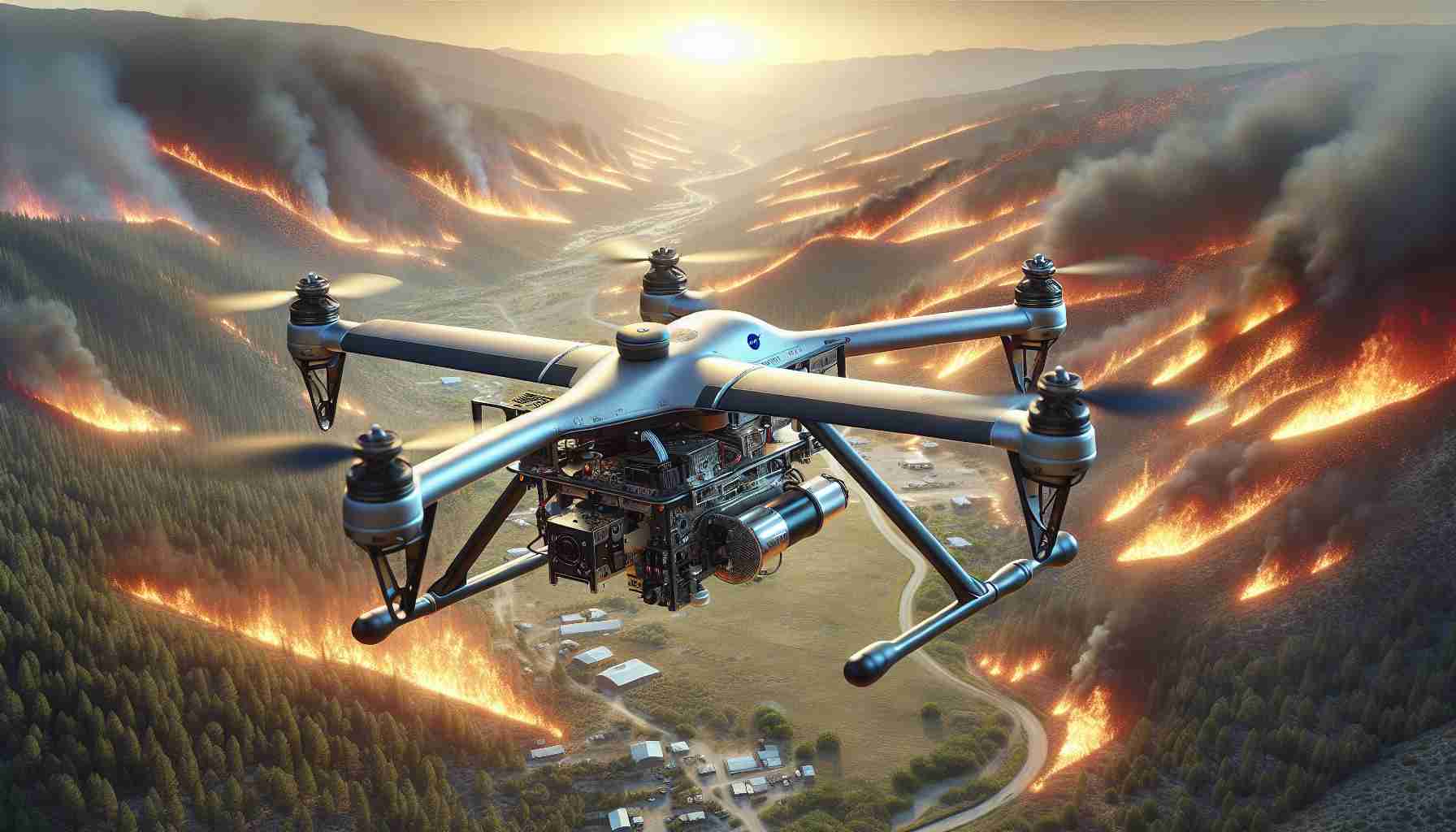
- NASA researchers are using drones to enhance wildfire prediction and response, employing the Alta X quadcopter equipped with advanced wind sensors.
- The FireSense project highlights the role of micrometeorology in anticipating wildfire behavior, crucially focusing on wind pattern analysis.
- Drones gather essential meteorological data in challenging terrains, offering precise, localized forecasts beyond traditional methods.
- Collaborations with tech partners like MITRE and NVIDIA enable data visualization, aiding firefighters and meteorologists in understanding rapidly changing conditions.
- This initiative signifies a shift towards sustainable and reusable forecasting tools, enhancing wildfire management efficiency.
- Future missions in Alabama and Florida promise further advances in wildfire defense technologies.
Beneath the commanding skies of Missoula, a team of NASA researchers unleashed the power of drones in the fight against relentless wildfires. With the Alta X quadcopter as their vessel, the team embarked on a daring quest to revolutionize how we predict and respond to fire behavior. Mounted with cutting-edge wind sensors, these drones offered a glimpse into the future of wildfire management, marrying precision with sustainability.
As wildfires rage with increasing ferocity across the globe, understanding wind patterns becomes a pivotal factor in predicting their path. This summer, NASA’s FireSense project demonstrated that micrometeorology could be the answer. The decision to employ the Alta X was as strategic as it was innovative, given the U.S. Forest Service’s existing fleet, making integration both practical and impactful.
The experiments conducted over Missoula’s mountainous terrain revealed the drones’ potential to gather meteorological data previously beyond reach. Operating in dynamic and smoky conditions, the agile devices collected data crucial for creating localized forecasts—data that, until now, remained the domain of weather balloons and stationary instruments. With the collaboration of technology partners like MITRE and NVIDIA, this data morphed into vibrant visualizations, assisting firefighters and meteorologists alike in deciphering the evolving environment.
Beyond merely testing, these efforts herald a shift towards reusable, efficient forecasting solutions. In the words of a project leader, a drone’s mission doesn’t end with its first flight—it’s a repeated asset, offering insights every step of the way.
A bright future lies on the horizon, with upcoming missions set for Alabama and Florida. As these drones carve their own paths in the skies, they bring with them the promise of safety and innovation, redefining how we defend against nature’s fiercest elements.
Unveiling the Secrets of Wildfire Management: How Drones are Revolutionizing Fire Forecasting
How-To Steps & Life Hacks
Deploying Drones for Wildfire Tracking
1. Preparation and Planning: Before dispatching drones like the Alta X, gather detailed maps and topographical data of the target area. This helps in strategizing flight paths for optimal data collection.
2. Sensor Calibration: Ensure all sensors, particularly wind sensors, are calibrated accurately to deliver reliable data on wind dynamics that influence fire spread.
3. Flight Execution: Use autonomous flight software to control the drone and gather data while minimizing human error. This enables precise micrometeorological monitoring.
4. Data Analysis: Collaborate with institutions to process the data into usable forecasts. Tools developed by partners such as MITRE and NVIDIA convert raw data into visual aids.
Real-World Use Cases
Assistance for Firefighters: Drones provide real-time data to guide evacuation protocols and resource allocation, ensuring prompt response in wildfire hotspots.
Research and Development: Scientific communities draw on drone-gathered micromet data to model climate change impacts on wildfire frequency and intensity.
Insurance and Risk Assessment: Insurers increasingly employ drone data to evaluate risk, enhancing policy precision and customer trust.
Market Forecasts & Industry Trends
The drone market in wildfire management is projected to grow significantly. According to Gartner, the global commercial drone market will reach $58.4 billion by 2025, with fire management applications contributing substantially due to escalating wildfire incidences globally.
Reviews & Comparisons
Alta X vs. Traditional Methods
– Pros of Alta X: Flexibility and access to areas unreachable by weather balloons, reusability, and integration with advanced technologies.
– Cons: Initial cost and the requirement for skilled operational teams.
Controversies & Limitations
Privacy Concerns: The use of drones raises privacy intrusion worries among residents in affected areas. Clear regulations and transparency are needed to address these fears.
Data Reliability: While promising, sensor accuracy in smoke and fluctuating environmental conditions remains a challenge that researchers are tackling with improved algorithms and hardware.
Features, Specs & Pricing
Alta X Quadcopter
– Maximum Flight Time: 35-40 minutes with standard payload.
– Payload Capacity: Up to 35 lbs.
– Range: Approximately 15 km.
– Pricing: Starts at around $15,000, varying with customized configurations.
Security & Sustainability
Data Security: Implement end-to-end encryption to protect data transmitted by drones, preventing unauthorized interception.
Environmental Impact: As electric-powered devices, drones like the Alta X have a smaller carbon footprint compared to traditional helicopter operations in firefighting.
Insights & Predictions
Experts anticipate that drones will not only assist in fire prediction but also evolve towards autonomous suppression, deploying chemical retardants or water in initial fire resurgence stages. According to NASA projections, further advancements will reduce response times, crucial for protecting human life and property.
Quick Tips for Drone Utilization in Fire Management
– Optimize Data Processing: Leverage AI-driven tools for rapid data transformation, crucial for timely decision-making.
– Regular Training: Ensure operational teams are continuously trained in the latest technologies and drone management protocols.
– Community Engagement: Foster relationships with local communities to improve participation and transparency in drone operations.
This comprehensive embrace of drone technology marks the dawn of enhanced fire management, promising a future where safety and sustainability go hand in hand. For more information on technology innovations, visit NASA and NVIDIA.


