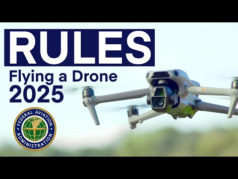
- Rising civilian drone presence raises safety concerns, particularly in urban areas.
- Recent incidents, like a drone colliding with firefighting aircraft, highlight the need for improved tracking systems.
- BYU researchers are developing an affordable air traffic control system using small radar units.
- This system can provide rapid, real-time tracking of drones, significantly enhancing airspace safety.
- Strategically placed radars work together to create a comprehensive view of drone activity.
- The technology aims to facilitate safe coexistence of multiple drone operations, potentially revolutionizing drone deliveries.
In recent years, the soaring number of civilian drones has sparked serious safety concerns, especially in crowded urban areas. A shocking incident last month saw an unauthorized drone collide with a firefighting aircraft over the Los Angeles wildfires, bringing critical rescue operations to a standstill. As traditional radar systems struggle to track low-flying drones below 400 feet, the need for a new tracking solution has become urgent.
Enter a groundbreaking air traffic control system developed by researchers from BYU, led by the innovative engineering professor Cammy Peterson. By utilizing a network of low-cost, small radars, this system promises to transform the way we monitor drone activity in our skies. Unlike hefty, multimillion-dollar radars, these compact units can be deployed for a fraction of the price and work in harmony to maintain safety in the airspace.
Here’s how it works: a network of radar units, strategically placed on buildings or light poles, detects and tracks drones within their range. These units communicate to build a real-time, shared picture of drone locations, ensuring no two aircraft find themselves on a collision course. With the ability to calibrate rapidly—within just 10 seconds—this system adapts to changes and challenges in the environment.
The researchers envision a future where multiple companies can safely share the same airspace, paving the way for a boom in drone deliveries and services. With this innovative approach, the skies could soon be safer for both drones and the public. Stay tuned, as this discovery could redefine the rules of the air!
Revolutionizing Urban Airspace: A New Dawn for Drone Safety
Drones have become increasingly popular for both commercial and recreational use, particularly within urban environments. However, the rapid increase in civilian drones has raised safety and regulatory concerns, particularly as incidents like the recent collision over the Los Angeles wildfires highlight. In light of these challenges, unprecedented innovations in drone tracking technology are on the horizon.
New Insights into Drone Tracking Technology
The innovative air traffic control system developed at BYU by Professor Cammy Peterson is groundbreaking. This system’s key characteristics include:
– Cost-Effectiveness: Unlike traditional enormous radar systems that cost millions, these compact radar units are much more affordable, making them accessible for broader deployment.
– Scalability: The radar units can be placed at various heights on buildings or other structures, allowing for extensive coverage in urban areas.
– Real-Time Communication: The network of radars communicates instantly, creating a dynamic map of airborne drones, which enhances the system’s responsiveness.
– Rapid Calibration: The units are designed to calibrate quickly—within just 10 seconds—allowing them to adapt to changing air traffic conditions seamlessly.
– Future Implications for Urban Air Mobility: This technology not only aims to prevent accidents but also promotes the potential for increased drone deliveries, aerial services, and possibly even personal air vehicles in crowded spaces.
Key Questions Answered
1. What are the main advantages of the new drone tracking system over traditional radar?
The new system is significantly more affordable and scalable, making it possible to deploy in various urban locations. Its real-time tracking capabilities allow for instant communication and mapping of drone movements, which traditional radars lack at such a low flying altitude.
2. How will this technology affect the future of drone operations in cities?
This technology is expected to revolutionize drone operations by improving safety and efficiency. With better tracking, it will foster trust among regulators, businesses, and the public. Consequently, we might see a surge in commercial drone usage, including delivery services, enhancing urban logistics.
3. Are there any limitations to this new drone tracking system?
While it presents numerous advancements, challenges remain such as interference from other electronic devices and understanding the regulatory framework needed for widespread implementation. Additionally, the effectiveness in highly congested areas, where many drones may operate simultaneously, is still to be tested comprehensively.
Conclusion
As we move toward this innovative future, it’s essential to keep an eye on these developments. The integration of affordable radar technology into urban airspace management has the potential to not only improve safety but also unlock new markets and avenues for drone services, signaling a new era of aerial operations.
For more information, visit BYU.